
Satellites can see the canopy. They cannot see consent.
IEG convenes a technical session on groundtruthing at the COP17 Data to Action Pavilion.
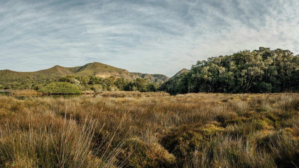
A satellite can tell you a forest is still standing. It cannot tell you which species came back, whether the understorey recovered, who has been maintaining the trapline, or whether anybody asked permission before the data was collected.
IEG will convene a technical session at the Data to Action Pavilion in the COP17 Blue Zone on Sunday 25 October 2026, from 11.00 to 11.50. The session, “Nature data from the ground up: The 8 Billion Hour Pledge as a catalyst for global groundtruthing”, is hosted in partnership with GEO BON, GBIF, GEO, the Smithsonian Institution and the University of Zurich.
Reconciling the view from orbit with the view from the ground
Remote sensing and earth observation give genuinely valuable macro-level insight. Accurate biodiversity measurement still requires someone in situ, and that someone usually lives there. The session takes on the gap between top-down collection and community-led verification.
- Consent-based data sharing. Community-level verification layers built so that Indigenous data sovereignty is a property of the system, not a policy document sitting beside it.
- Synergies with NatureID and DPI. Alignment with UNDP’s Digital for Planet and NatureID frameworks.
- Marketplaces for stewardship services. Communities offering verified data collection as a service, for NBSAPs, corporate disclosure and conservation targets. Groundtruthing as paid work rather than a favour to science.
The question the session leaves on the table is a commercial one as much as a technical one: if ground data is what makes satellite data trustworthy, who is paying for the ground data.
IEG thanks GEO BON, GBIF, GEO, the Smithsonian Institution and the University of Zurich for co-hosting this session at the Data to Action Pavilion.
Image: Recording field survey data, Gary Peeples / US Fish and Wildlife Service, via Wikimedia Commons, public domain.